Why land needs pictures
A raw parcel is hard to sell and hard to approve. Neighbors at a hearing see a plat full of lines and imagine the worst. A lender sees acres of grass. A buyer looking at a land listing can't tell where the houses would sit or how the road would run. An aerial render puts the plan on the land, so everyone is looking at the same thing.
The images are built from your documents: the survey's contours become the terrain, the site plan becomes roads, lots and open space, and the product types become buildings. The result shows what the plan would look like, at the right scale, from the angles that answer people's questions.
Who orders them
Land developers use them to explain a subdivision or master plan to a planning board and to raise money. Home builders use them in sales centers before streets exist. Civil engineers and land planners add them to submittals so a hearing can follow the layout. Land brokers use simpler visuals to show what a parcel could hold.
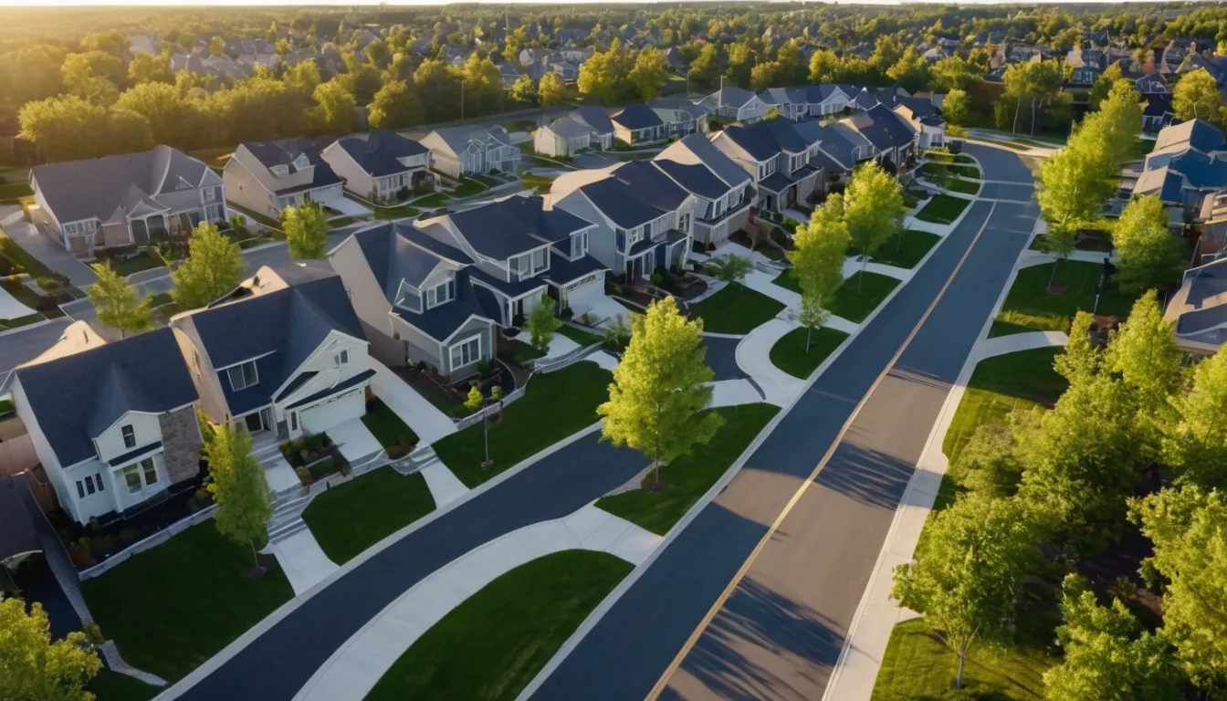
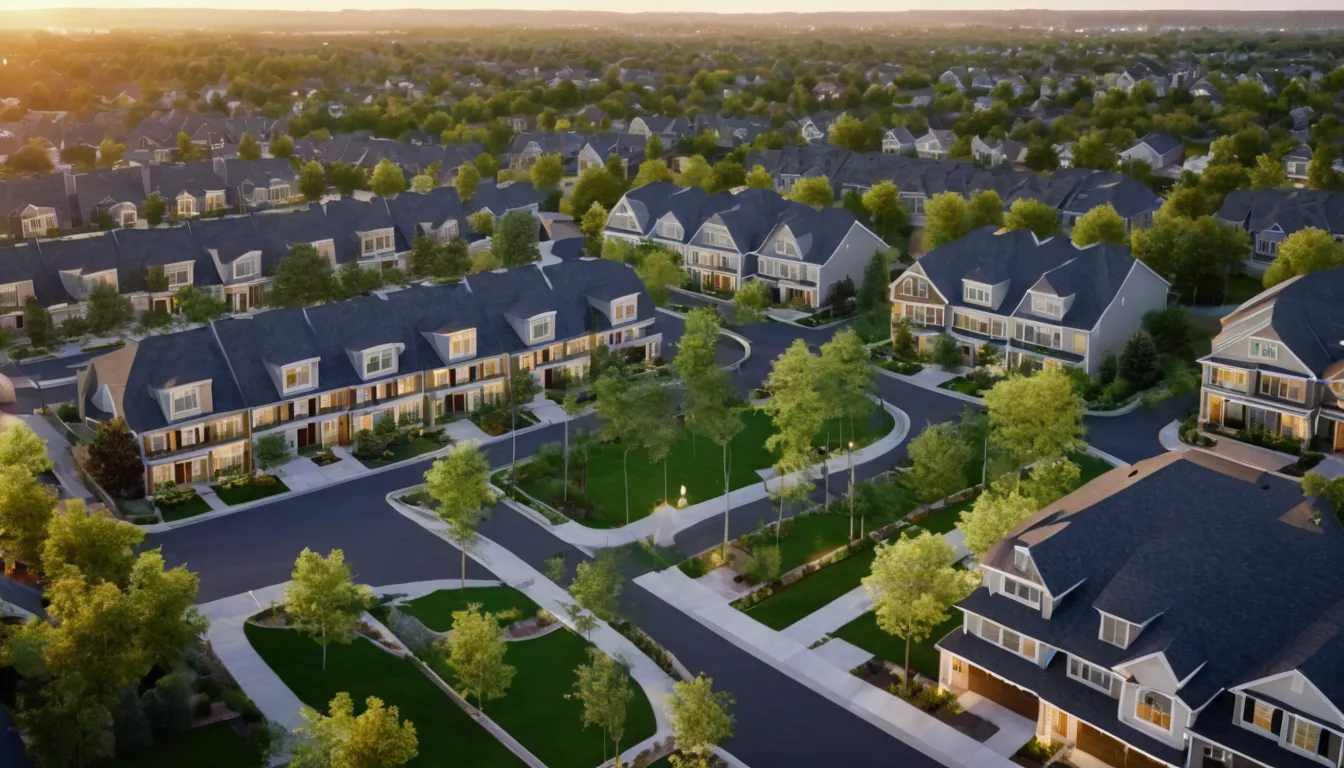
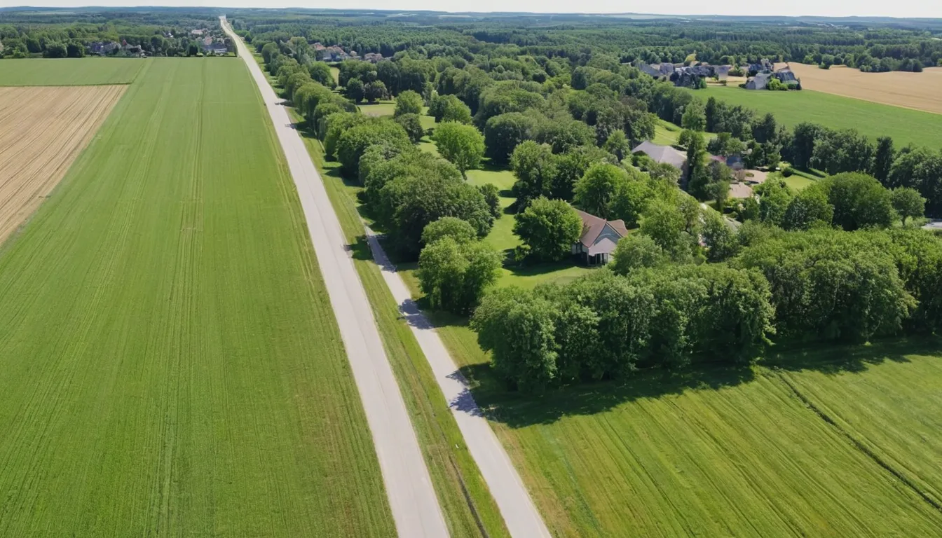
What finished land renders look like
What to send
Most jobs start from a survey and a concept plan. A typical brief has:
- A boundary survey or plat, with lot lines and easements (PDF, DWG or DXF)
- Topography: contour lines from the survey, or a DEM or point cloud if you have one
- The concept or engineered site plan: lots, roads, sidewalks, stormwater ponds, open space
- House or building footprints and heights, or the product types you plan to build
- Photos of the land and its edges: tree lines, roads, neighbors, any views worth showing
- Where the images will be used (a zoning hearing, a lender pack, a land listing, a sales center) and your deadline
Early in a project, a concept sketch over the survey is often enough for a first view. We'll list anything missing in the quote.
Where we work
All work is remote. We focus on three markets and book calls in their time zones.
New York, NY
Land renders for New York developers, builders and brokers.
Minneapolis, MN
Land renders for Minneapolis developers, builders and brokers.
Nashville, TN
Land renders for Nashville developers, builders and brokers.
Common questions
How much does an aerial render cost?
It depends on the size of the site, how much terrain we model, how many buildings go on it and how many views you need. Every job gets a written quote before work starts.
Can you work from a hand sketch?
For a first look, yes, if it sits on a survey with contours. For a hearing or a sales center, we need the engineered or concept plan so the image matches what you are submitting.
Do you show the neighbors and surroundings?
Yes. We add nearby roads, tree lines and buildings as simple massing, using photos and aerial maps, so the development sits in its real context.
Are the images on this site real projects?
No. The photoreal images are labeled AI-generated samples, and the contour plans are concept drawings made for this site. We don't publish client work without permission.
Have a survey or a concept plan? Send the boundary, the lot layout and the views you need, and we'll quote the job.
Request a quote